Recently I wrote about how the tropical atmosphere was angrier at this stage in the season than it usually is, and this was reminiscent of 2005, but we were already falling behind that year's record pace. I included data from Dr. Phil Klotzbach, which indicated that years with early-season stats rivaling those of 2008 went on to have at least one very significant and destructive event.
Then came Dolly, whose initial damage estimates are upwards of $ 3/4 billion.
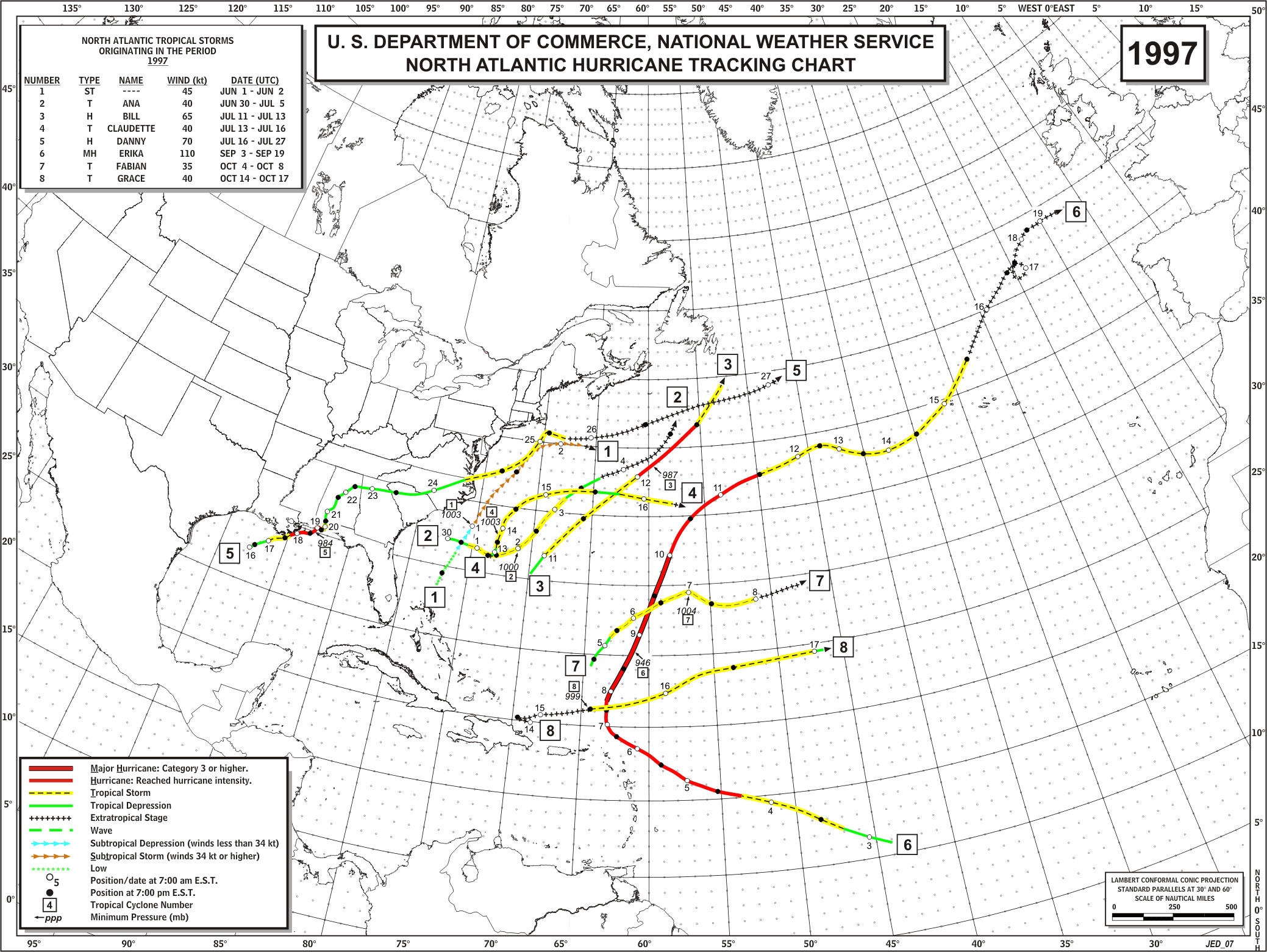
My colleague Jon Erdman followed with an entry with some other stats; this weekend that data was adapted into this graphic for airing on TWC, to illustrate a couple of extreme cases -- 1997 and 2005 -- in which seasons that got off to an active early start were drastically different thereafter.

Here's some more info about this season, 2005, and 1997.
There have been a number of scientific studies examining the relationship between ENSO (El Nino / Southern Oscillation) and tropical cyclones, showing that El Nino tends to suppress them in the Atlantic basin. But it had been my anecdotal observation that the idea oft-cited by the media and meteorologists that La Nina is a boost to the Atlantic hurricane season was overrated -- that in actuality both La Nina and "neutral" seasons (no El Nino or La Nina) had historically been more active, i.e. it was less that La Nina forced a boost, than El Nino exerted a downward pressure.
(El Nino refers to above-average sea surface temperatures, or SSTs, in the central and eastern equatorial Pacific, La Nina being the opposite.)
So a couple of years ago this week I dug into the data and posted a blog entry about it. Indeed, neutral seasons tend to be active along with La Nina ones; when it comes to El Nino, strong ones have more of an inhibiting influence than weak ones. There have been notable exceptions to all of the above, but what I've described is the case on average based on my informal yet objective look at the data, which I've updated to include through 2007 here.
Speaking of strong El Ninos, In 1997, one of the years featured on the graphic above, there was not only a full-fledged El Nino in progress by this date, it was the strongest on record for the Jun-Jul-Aug period. That El Nino continued to intensify rapidly, and at the peak of the hurricane season (Aug-Sep-Oct), no other El Nino in the historical record at that time of year even comes close to 1997's strength.
Currently in the equatorial Pacific, there are mixed signals, with a pattern in the atmosphere more typical of neutral conditions or even a lingering La Nina, and water temperatures still below average in the central Pacific, but the eastern Pacific looking like a developing El Nino (and water underneath the surface in the central Pacific is getting warmer too). The net effect -- for now -- is a wash (neutral conditions).
Recent years have been a mixed bag, both with the state of El Nino/La Nina and the outcome of the Atlantic hurricane seasons.
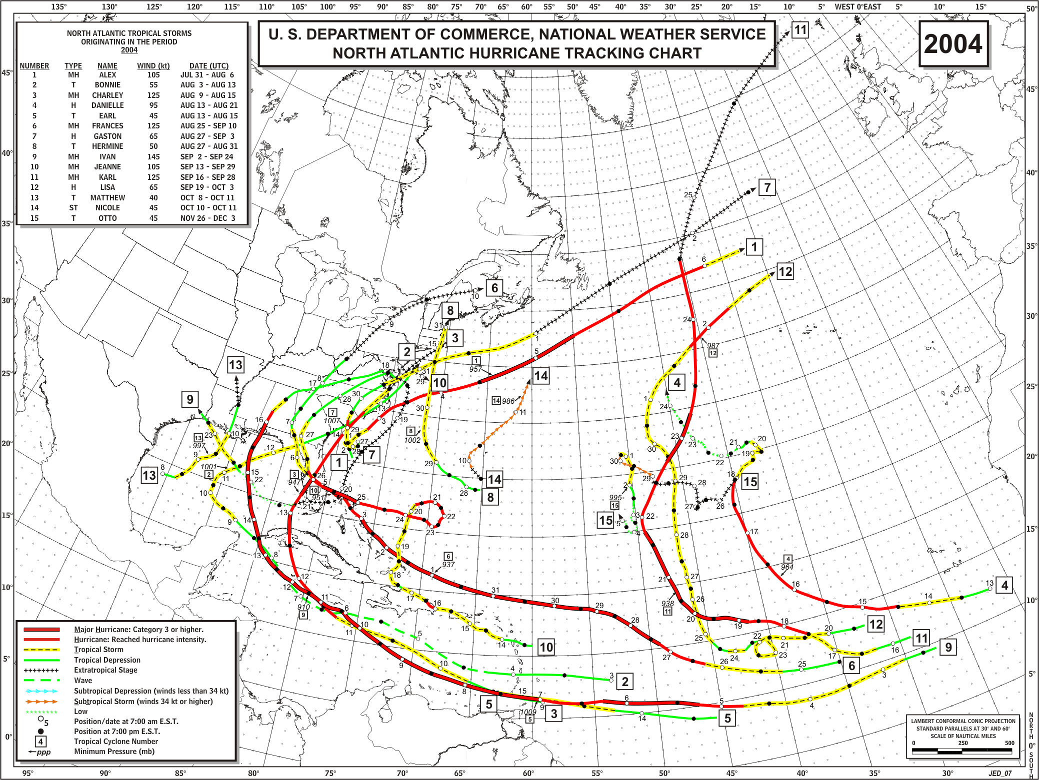
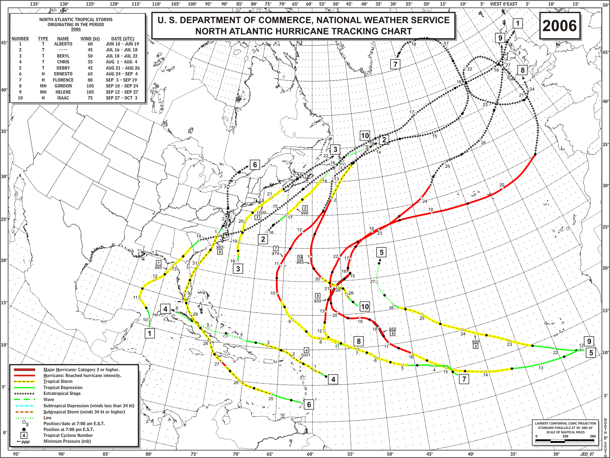
At this point in 2004 and 2006, a weak El Nino was developing, and the seasons had drastically different results.
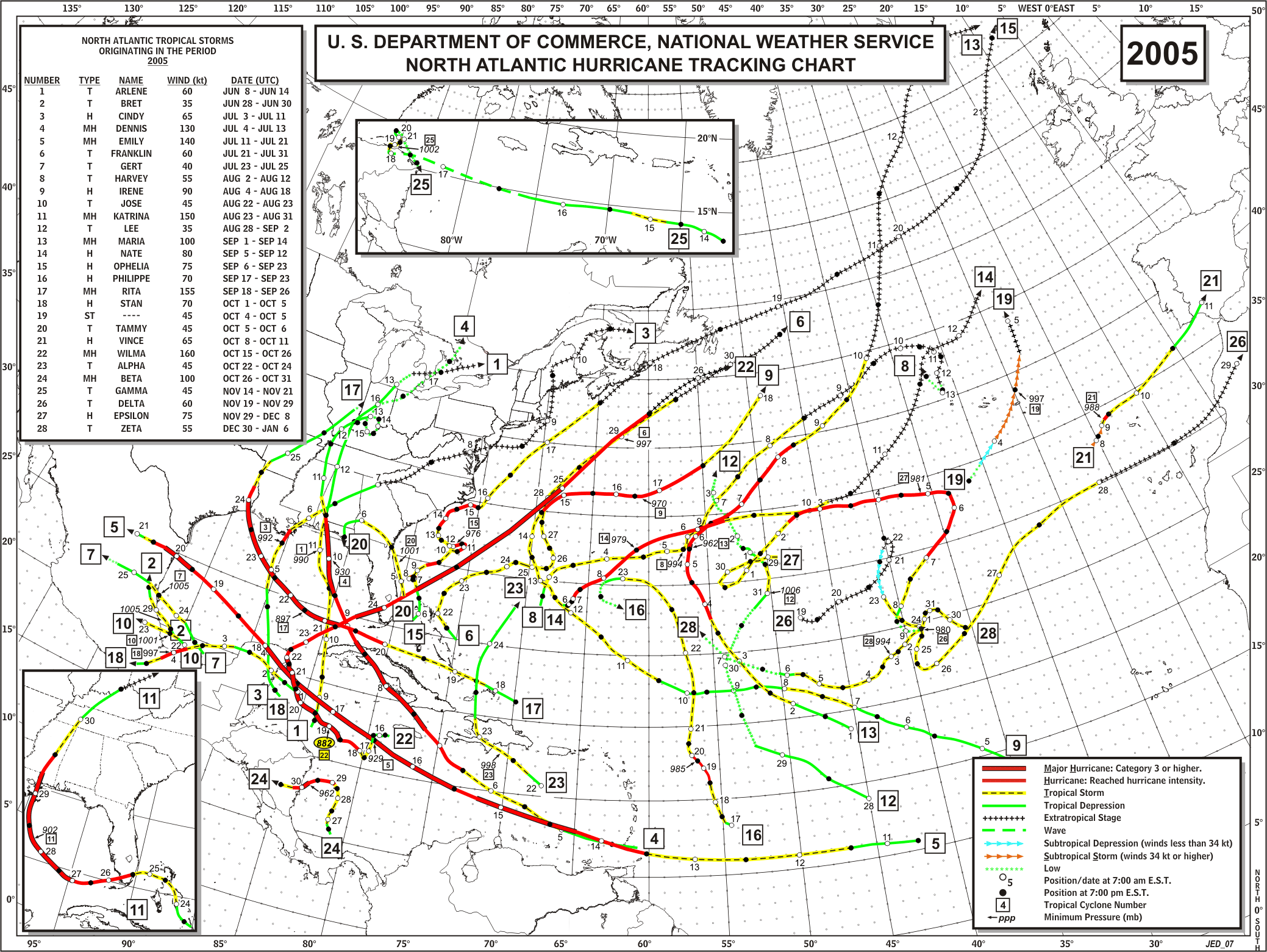
In the extreme season of 2005, a weak El Nino was ending in early summer, and neutral conditions were present during the peak of the season.
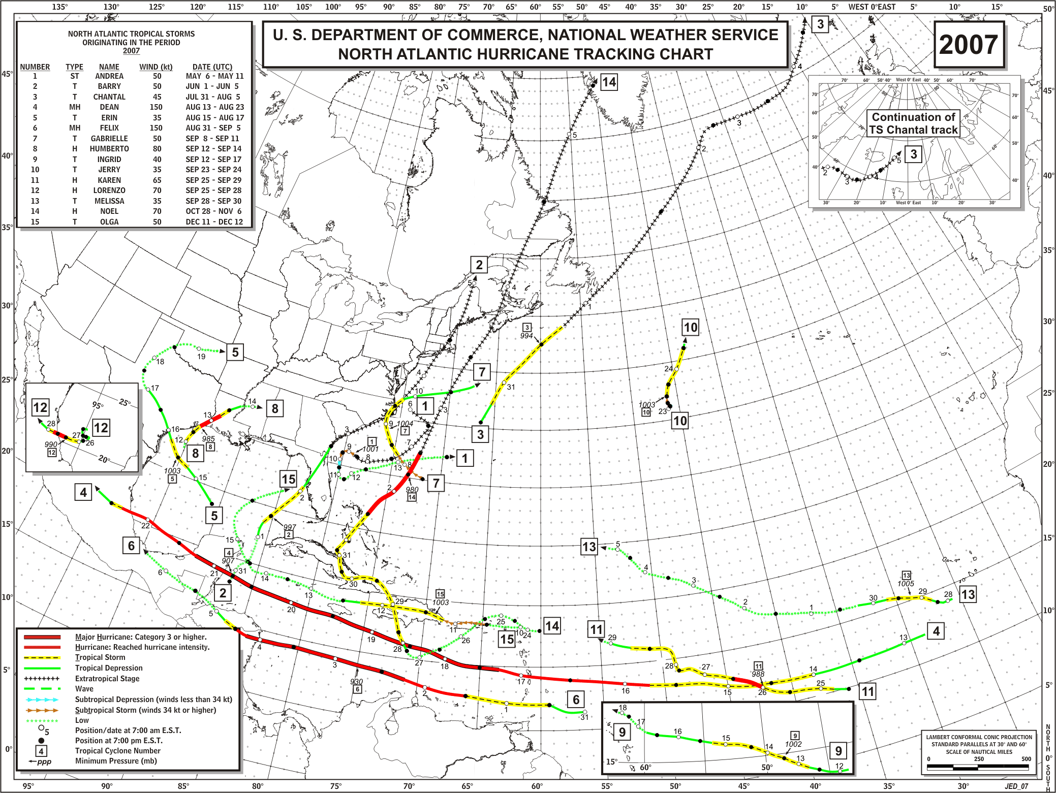
In 2007, La Nina developed during the hurricane season. Last year had the dichotomy of a few very intense and/or deadly hurricanes in and around the Caribbean, with mainly weak and/or short-lived tropical and subtropical cyclones elsewhere.
The upshot of all of this: there's no way of knowing exactly what the rest of 2008 will bring, but it's worth noting that in 1997 there was a climate signal of extreme magnitude present. As I've written cynically in the past about El Nino and La Nina, usually one must be careful to not place too much emphasis on those phenomena ... but in 1997 the whopper El Nino was clearly the dominant factor which overwhelmed that season after the early activity in June and July.
Below are the mid-July SST anomalies from NOAA for 2008, 2005, 1997 ... and 1982, when the other most exceptional El Nino of the modern record besides 1997-98 developed. It went on to rival the 1997-98 one in strength during the winter peak, but the way the '97-'98 one came on initially during spring and early summer really stunned the climate science community. On the maps below you can see how 1997 sticks out like a long, red, sore thumb.
Without that sort of thing present, I'd be shocked if 2008 ends up with only 8 storms like in 1997.


No comments:
Post a Comment